Our Services
Precision services for every terrain
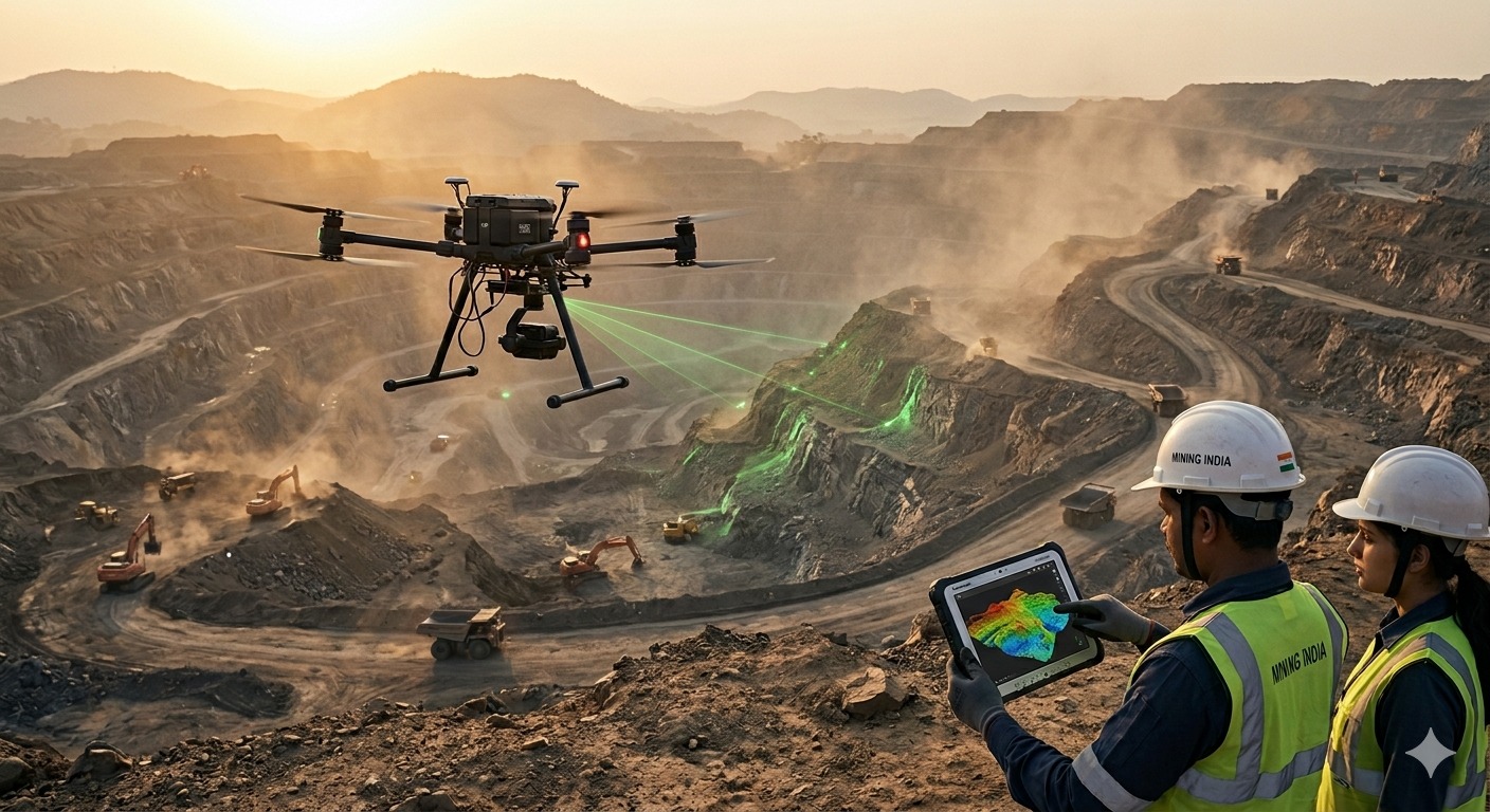
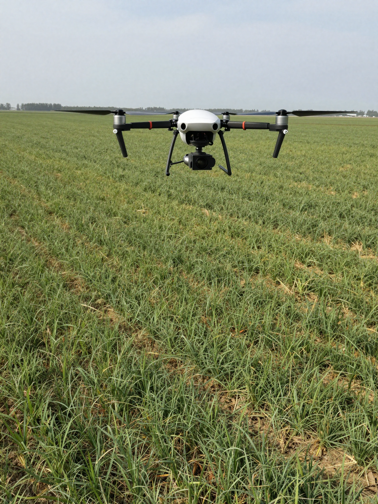
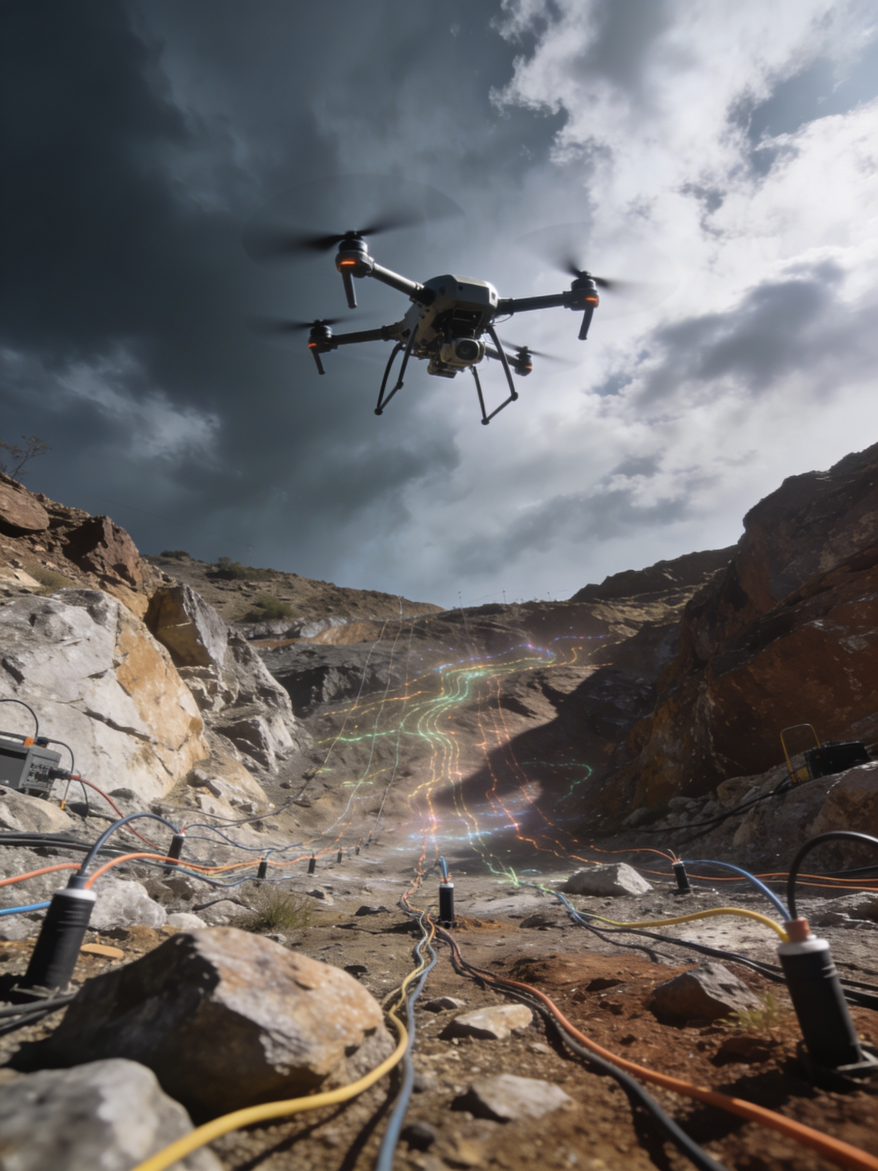
Drone Survey Services
- Photogrammetric Drone Survey
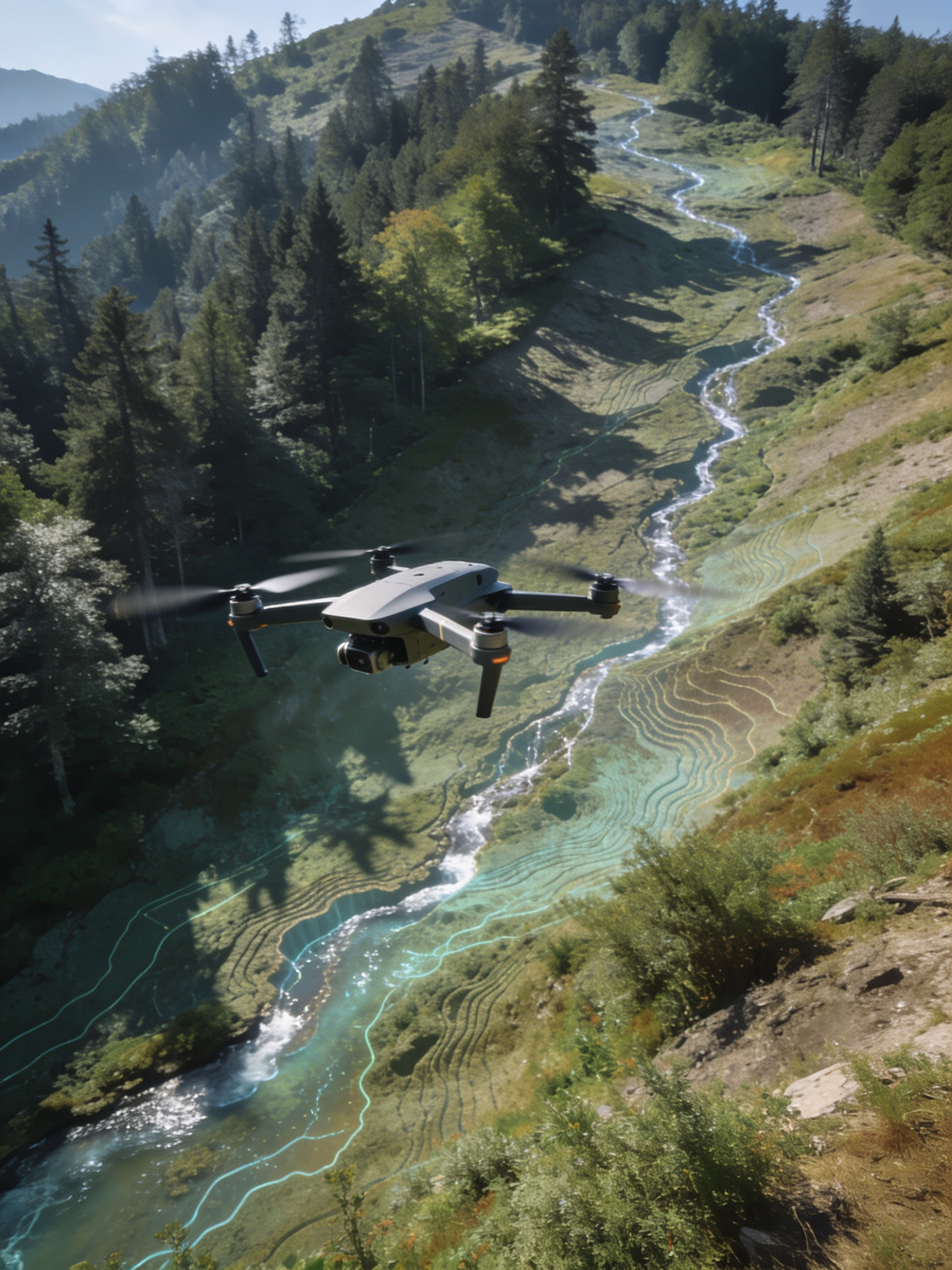
- Aerial LiDAR Survey
- Drone Monitoring & Surveillance
- Aerial Thermal Inspection
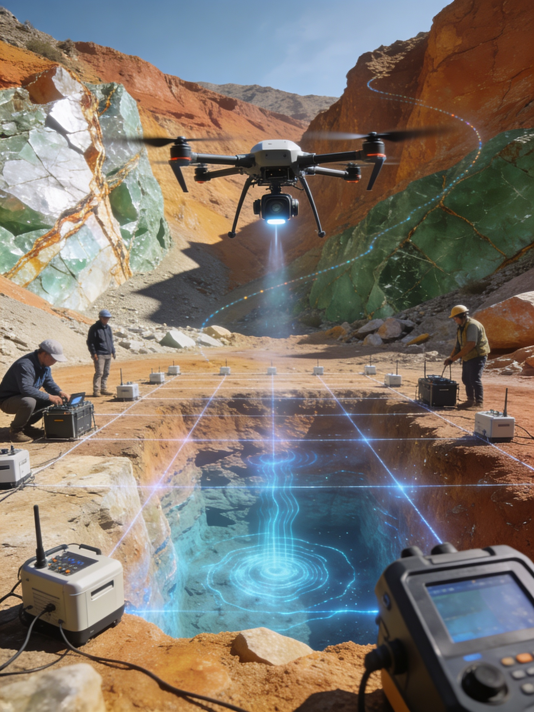
Geophysical Survey
- Gravity & Magnetic Survey
- IP & SP Survey
- Groundwater Investigation
- TEM Survey
- Seismic Survey & SRT
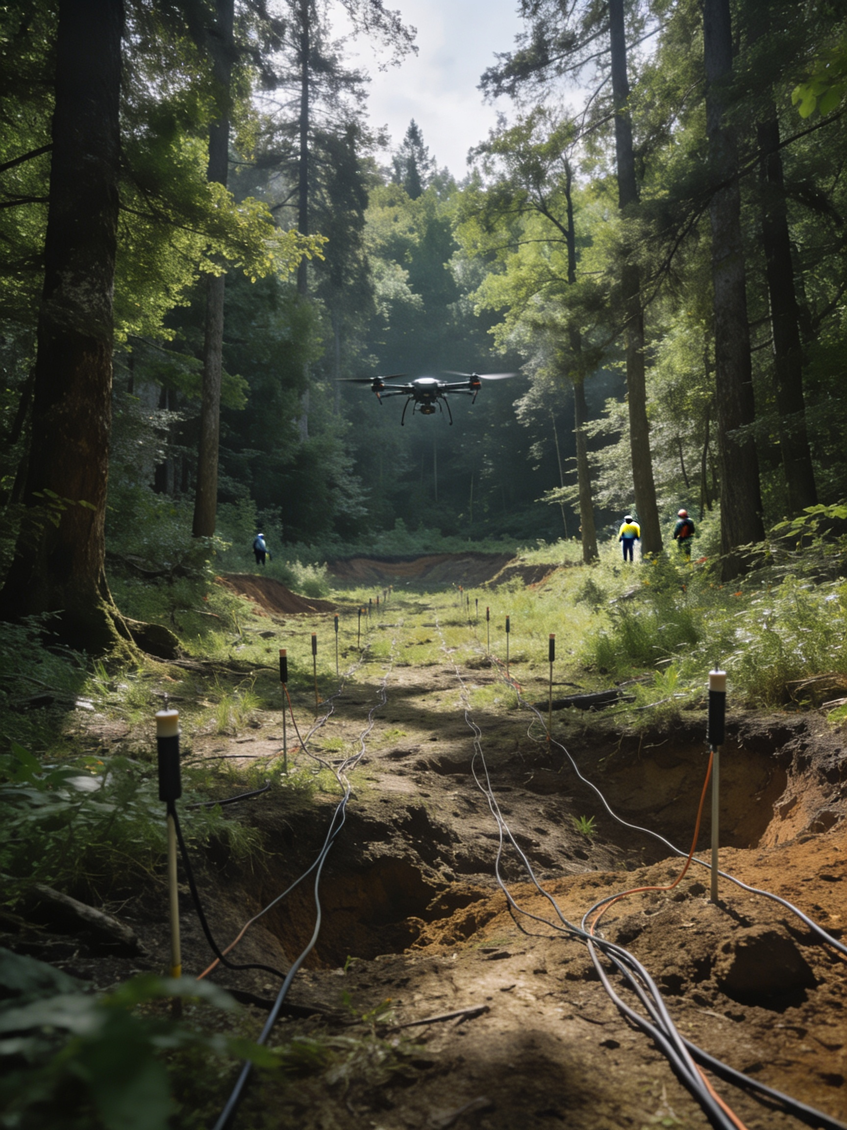
Subsurface & Bathymetry
- Ground Penetrating Radar (GPR)
- Bathymetric Survey
- Transient Electromagnetic (TEM)

Engineering Solutions
- Geotechnical Investigation
- Pile Integrity Test (PIT)
- Surface Hydrology Analysis
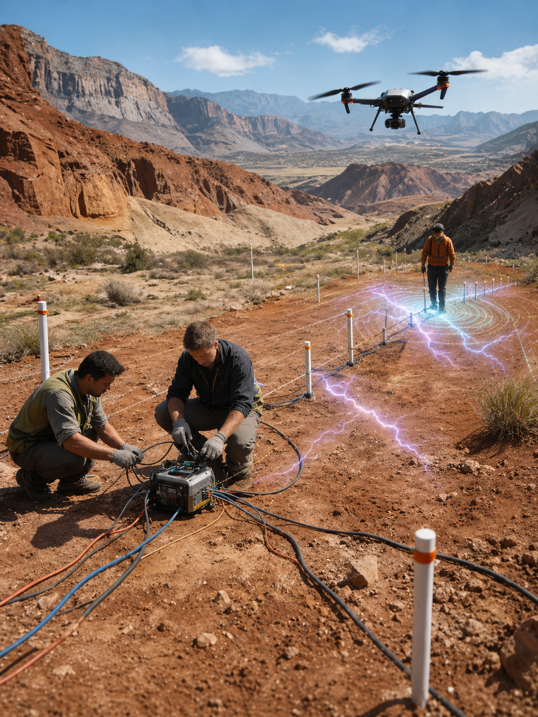
- Electrical Resistivity Survey
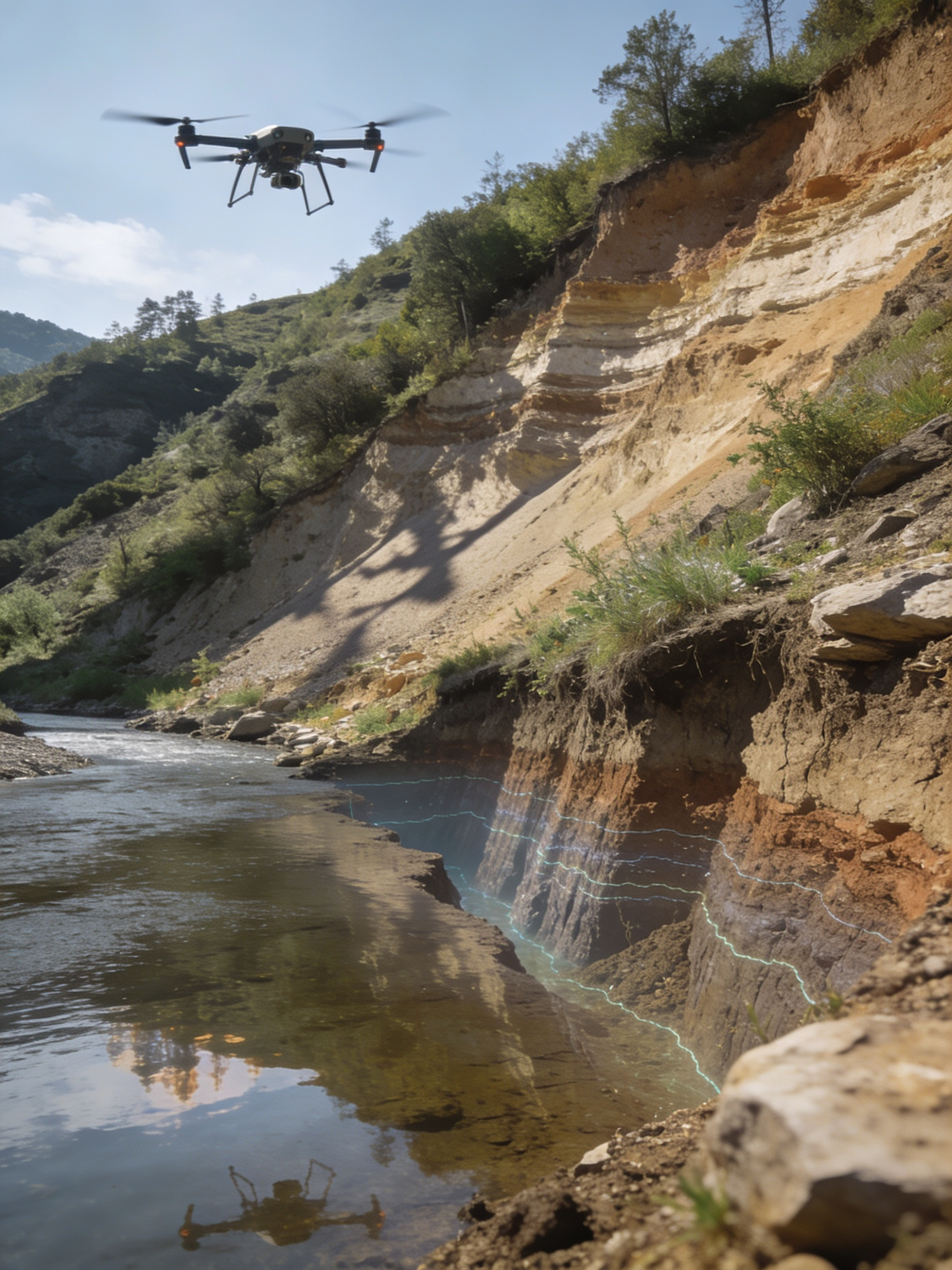
- Slope Stability Analysis
- BIM Modeling
Electrical Resistivity Survey
- Subsurface Profiling
- Groundwater Mapping
- Infrastructure Assessment
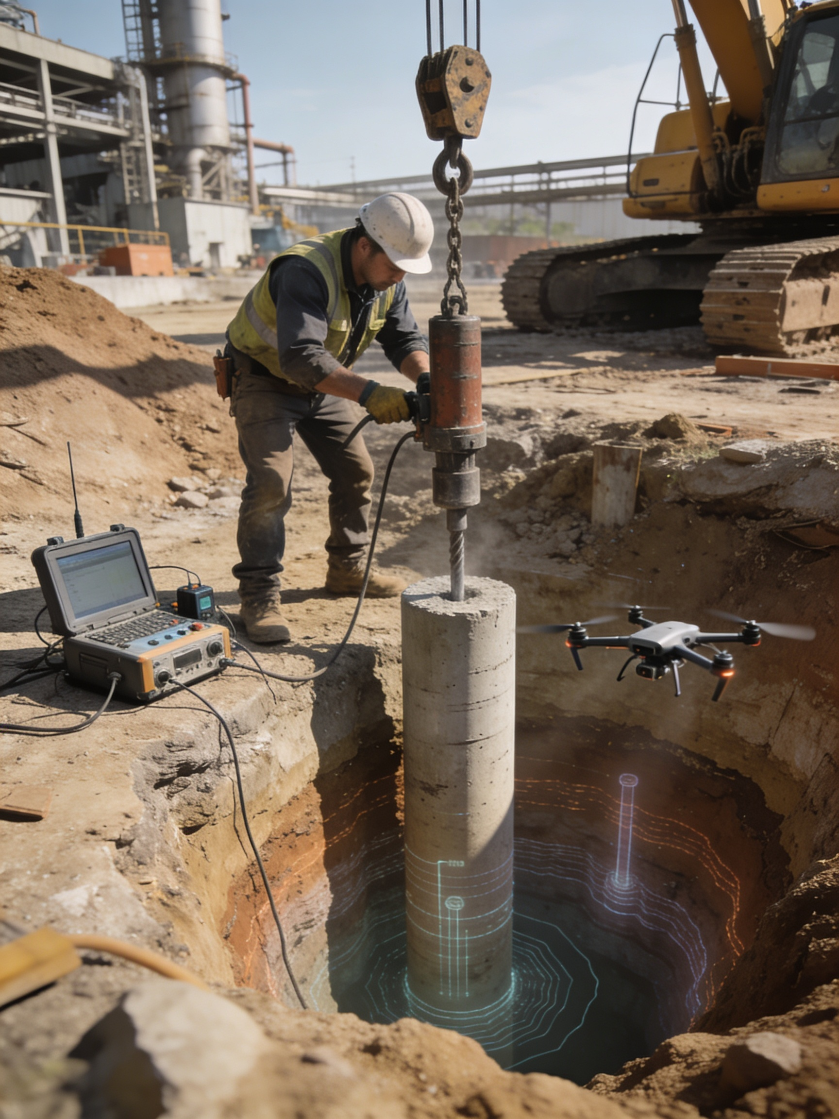
Pile Integrity Test (PIT)
- Structural Foundation Testing
- Non-Destructive Testing
- Construction Quality Assurance

Drone Monitoring & Surveillance
- Powerline Monitoring
- Industrial Inspection
- Pipeline Inspection
- Bridge & Road Inspection


Drone Data Compatible
with Your Software
We deliver industry-standard formats that seamlessly integrate with your favorite GIS, CAD and BIM platforms.
Our Clients
Trusted by Industry Leaders
From public sector enterprises to leading manufacturers — organizations across India rely on Garud Survey for precision aerial and geophysical data.